River Beal Weir
Introduction
The photograph on this page of River Beal Weir by Bryan Tenny as part of the Geograph project.
The Geograph project started in 2005 with the aim of publishing, organising and preserving representative images for every square kilometre of Great Britain, Ireland and the Isle of Man.

There are currently over 7.5m images from over 14,400 individuals and you can help contribute to the project by visiting https://www.geograph.org.uk
River Beal Weir
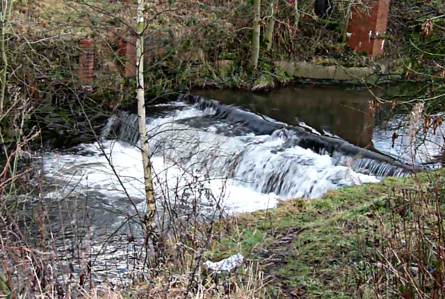
Image: © Bryan Tenny Taken: 17 Jan 2011
The weir on the river Beal in Milnrow from which Weir Rd in the 1970s housing estate on the site of Ashes farm takes its name.
Images are licensed for reuse under creativecommons.org/licenses/by-sa/2.0
Image Location
Latitude
53.613764
Longitude
-2.115143