Roundabout, SW4
Introduction
The photograph on this page of Roundabout, SW4 by Derek Harper as part of the Geograph project.
The Geograph project started in 2005 with the aim of publishing, organising and preserving representative images for every square kilometre of Great Britain, Ireland and the Isle of Man.

There are currently over 7.5m images from over 14,400 individuals and you can help contribute to the project by visiting https://www.geograph.org.uk
Roundabout, SW4
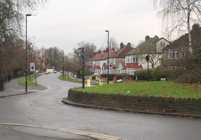
Image: © Derek Harper Taken: 13 Jan 2011
In the background, Clarence Avenue (bordering Agnes Riley Gardens on the left) crosses the South Circular at the traffic lights. Five roads meet at this roundabout; on the left is Atkins Road.
Images are licensed for reuse under creativecommons.org/licenses/by-sa/2.0
Image Location
Latitude
51.447941
Longitude
-0.137987