Scout hut, Cadoxton
Introduction
The photograph on this page of Scout hut, Cadoxton by Jaggery as part of the Geograph project.
The Geograph project started in 2005 with the aim of publishing, organising and preserving representative images for every square kilometre of Great Britain, Ireland and the Isle of Man.

There are currently over 7.5m images from over 14,400 individuals and you can help contribute to the project by visiting https://www.geograph.org.uk
Scout hut, Cadoxton
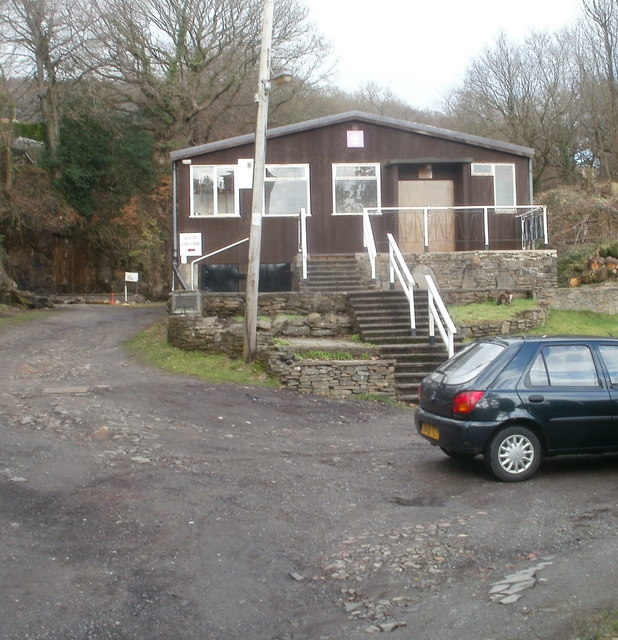
Image: © Jaggery Taken: 19 Feb 2011
The scout hut is set back from the north side of Main Road (A4230) Cadoxton, along a path into Craig Gwladus Country Park. http://www.geograph.org.uk/photo/2276354
Images are licensed for reuse under creativecommons.org/licenses/by-sa/2.0
Image Location
Latitude
51.674219
Longitude
-3.796121