Upper Wyke - Shed
Introduction
The photograph on this page of Upper Wyke - Shed by Chris Talbot as part of the Geograph project.
The Geograph project started in 2005 with the aim of publishing, organising and preserving representative images for every square kilometre of Great Britain, Ireland and the Isle of Man.

There are currently over 7.5m images from over 14,400 individuals and you can help contribute to the project by visiting https://www.geograph.org.uk
Upper Wyke - Shed
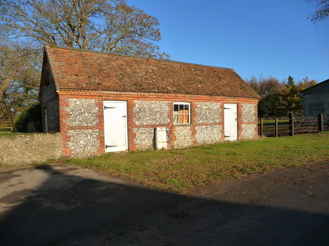
Image: © Chris Talbot Taken: 12 Dec 2010
The interesting thing about this shed is the old fuel pump.
Images are licensed for reuse under creativecommons.org/licenses/by-sa/2.0
Image Location
Latitude
51.249574
Longitude
-1.42827