Marlborough Cross
Introduction
The photograph on this page of Marlborough Cross by David Smith as part of the Geograph project.
The Geograph project started in 2005 with the aim of publishing, organising and preserving representative images for every square kilometre of Great Britain, Ireland and the Isle of Man.

There are currently over 7.5m images from over 14,400 individuals and you can help contribute to the project by visiting https://www.geograph.org.uk
Marlborough Cross
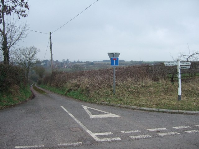
Image: © David Smith Taken: 18 Feb 2011
The lane ahead became a cul-de-sac with the construction of the A30 dual carriageway. It originally led to Clyst Honiton.
Images are licensed for reuse under creativecommons.org/licenses/by-sa/2.0
Image Location
Latitude
50.727094
Longitude
-3.432202