A Park o' Neeps
Introduction
The photograph on this page of A Park o' Neeps by Anne Burgess as part of the Geograph project.
The Geograph project started in 2005 with the aim of publishing, organising and preserving representative images for every square kilometre of Great Britain, Ireland and the Isle of Man.

There are currently over 7.5m images from over 14,400 individuals and you can help contribute to the project by visiting https://www.geograph.org.uk
A Park o' Neeps
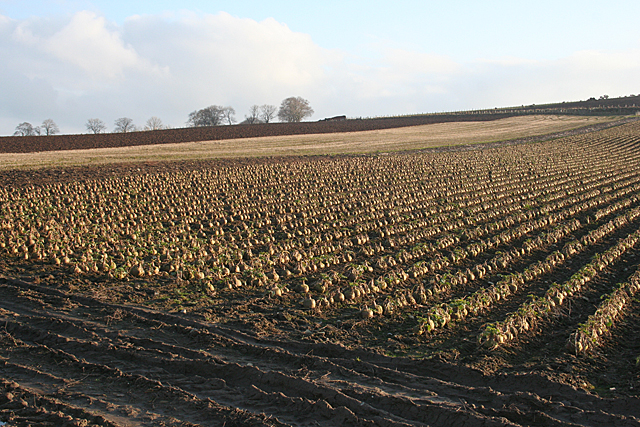
Image: © Anne Burgess Taken: 17 Feb 2011
In the speech of north-east Scotland, a 'park' is a field and 'neeps' are turnips or swedes. These serried ranks of root vegetables are on the slopes of the Hill of Culbirnie. The trees on the skyline mark the location of Backhill of Culbirnie.
Images are licensed for reuse under creativecommons.org/licenses/by-sa/2.0
Image Location
Latitude
57.637623
Longitude
-2.614493