Siller Hill
Introduction
The photograph on this page of Siller Hill by Anne Burgess as part of the Geograph project.
The Geograph project started in 2005 with the aim of publishing, organising and preserving representative images for every square kilometre of Great Britain, Ireland and the Isle of Man.

There are currently over 7.5m images from over 14,400 individuals and you can help contribute to the project by visiting https://www.geograph.org.uk
Siller Hill
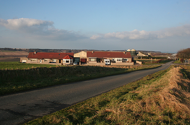
Image: © Anne Burgess Taken: 17 Feb 2011
These modern bungalows stand beside the crossroads near Wester Culbeuchly, which can be seen beyond them. The maps name this as Siller Hill.
Images are licensed for reuse under creativecommons.org/licenses/by-sa/2.0
Image Location
Latitude
57.650313
Longitude
-2.590413