Burn near Siller Hill
Introduction
The photograph on this page of Burn near Siller Hill by Anne Burgess as part of the Geograph project.
The Geograph project started in 2005 with the aim of publishing, organising and preserving representative images for every square kilometre of Great Britain, Ireland and the Isle of Man.

There are currently over 7.5m images from over 14,400 individuals and you can help contribute to the project by visiting https://www.geograph.org.uk
Burn near Siller Hill
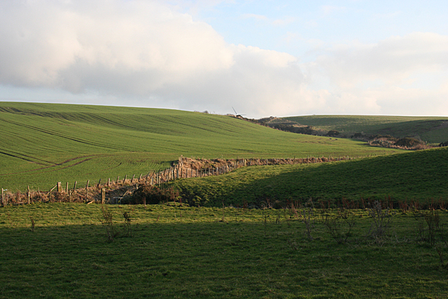
Image: © Anne Burgess Taken: 17 Feb 2011
This short burn drains the land between Denhead and Blairshinnoch into the Burn of Boyndie. The tip of one of the wind turbines on the Hill of Firfolds is just visible on the skyline.
Images are licensed for reuse under creativecommons.org/licenses/by-sa/2.0
Image Location
Latitude
57.64695
Longitude
-2.598902