The Knock River, Belfast (10)
Introduction
The photograph on this page of The Knock River, Belfast (10) by Albert Bridge as part of the Geograph project.
The Geograph project started in 2005 with the aim of publishing, organising and preserving representative images for every square kilometre of Great Britain, Ireland and the Isle of Man.

There are currently over 7.5m images from over 14,400 individuals and you can help contribute to the project by visiting https://www.geograph.org.uk
The Knock River, Belfast (10)
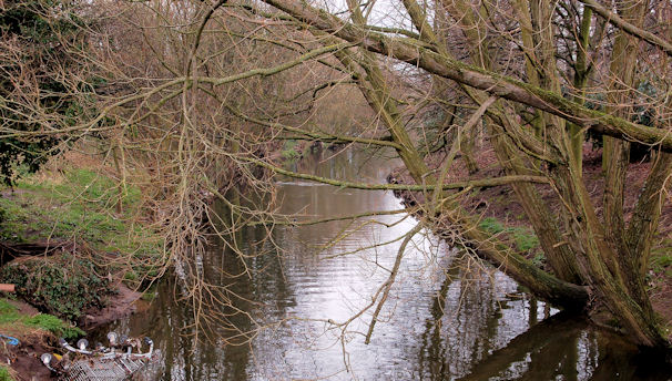
Image: © Albert Bridge Taken: 18 Feb 2011
Part of the Knock River, downstream of Image seen from the footbridge Image behind Bloomfield Parade. This stretch of the river is one along which the Connswater Greenway plans will be particularly welcome.
Images are licensed for reuse under creativecommons.org/licenses/by-sa/2.0
Image Location
Latitude
54.593719
Longitude
-5.89312