Lythebrae Cottage
Introduction
The photograph on this page of Lythebrae Cottage by Anne Burgess as part of the Geograph project.
The Geograph project started in 2005 with the aim of publishing, organising and preserving representative images for every square kilometre of Great Britain, Ireland and the Isle of Man.

There are currently over 7.5m images from over 14,400 individuals and you can help contribute to the project by visiting https://www.geograph.org.uk
Lythebrae Cottage
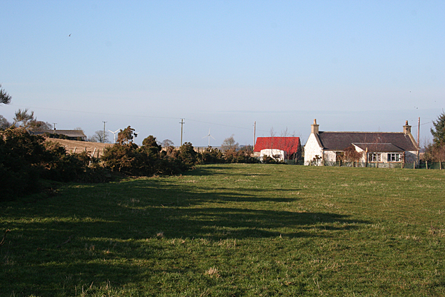
Image: © Anne Burgess Taken: 17 Feb 2011
This cottage is unnamed on the modern maps, but the Victorian six-inch maps names it as Lythebrae. It stands by the private road through Backhill of Culbirnie, a couple of hundred yards from its intersection with the minor public road. There is a glimpse of the roof of a shed at Backhill, and the Boyndie wind turbines beyond.
Images are licensed for reuse under creativecommons.org/licenses/by-sa/2.0
Image Location
Latitude
57.632352
Longitude
-2.608542