The bends at Fulscot
Introduction
The photograph on this page of The bends at Fulscot by Roger Templeman as part of the Geograph project.
The Geograph project started in 2005 with the aim of publishing, organising and preserving representative images for every square kilometre of Great Britain, Ireland and the Isle of Man.

There are currently over 7.5m images from over 14,400 individuals and you can help contribute to the project by visiting https://www.geograph.org.uk
The bends at Fulscot
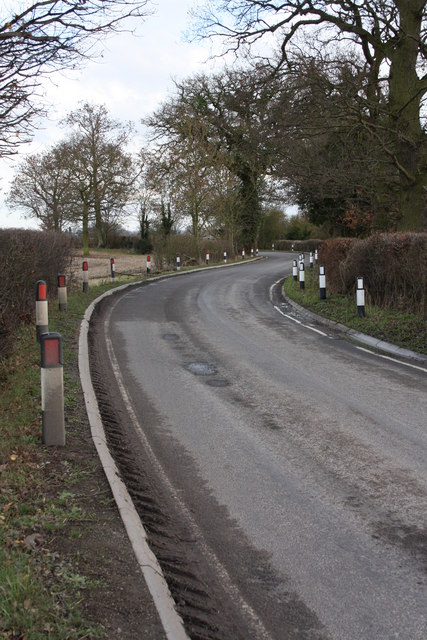
Image: © Roger Templeman Taken: 16 Feb 2011
Despite Oxfordshire County Council installing rows of reflective verge posts and removing the central white line, the ditches beside the road still attract the cars of unwary drivers.
Images are licensed for reuse under creativecommons.org/licenses/by-sa/2.0
Image Location
Latitude
51.596379
Longitude
-1.210407