Near Baldavie
Introduction
The photograph on this page of Near Baldavie by Anne Burgess as part of the Geograph project.
The Geograph project started in 2005 with the aim of publishing, organising and preserving representative images for every square kilometre of Great Britain, Ireland and the Isle of Man.

There are currently over 7.5m images from over 14,400 individuals and you can help contribute to the project by visiting https://www.geograph.org.uk
Near Baldavie
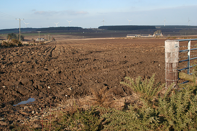
Image: © Anne Burgess Taken: 17 Feb 2011
Recently ploughed fields near Mains of Baldavie. The cottage at extreme left is one of the farm cottages at Ordens, and the farm on the right is Raggal. The wind farm at the former Boyndie aerodrome is in the distance.
Images are licensed for reuse under creativecommons.org/licenses/by-sa/2.0
Image Location
Latitude
57.642338
Longitude
-2.641877