Nether Blairmaud
Introduction
The photograph on this page of Nether Blairmaud by Anne Burgess as part of the Geograph project.
The Geograph project started in 2005 with the aim of publishing, organising and preserving representative images for every square kilometre of Great Britain, Ireland and the Isle of Man.

There are currently over 7.5m images from over 14,400 individuals and you can help contribute to the project by visiting https://www.geograph.org.uk
Nether Blairmaud
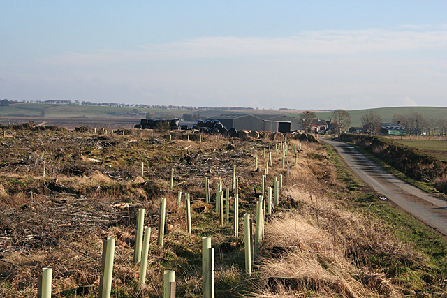
Image: © Anne Burgess Taken: 17 Feb 2011
The felling of the woodland alongside the minor road to Nether Blairmaud has opened up a view of the farm, though when the recently planted saplings outgrow their plastic protectors it will disappear again.
Images are licensed for reuse under creativecommons.org/licenses/by-sa/2.0
Image Location
Latitude
57.62938
Longitude
-2.646337