Kingswell
Introduction
The photograph on this page of Kingswell by Anne Burgess as part of the Geograph project.
The Geograph project started in 2005 with the aim of publishing, organising and preserving representative images for every square kilometre of Great Britain, Ireland and the Isle of Man.

There are currently over 7.5m images from over 14,400 individuals and you can help contribute to the project by visiting https://www.geograph.org.uk
Kingswell
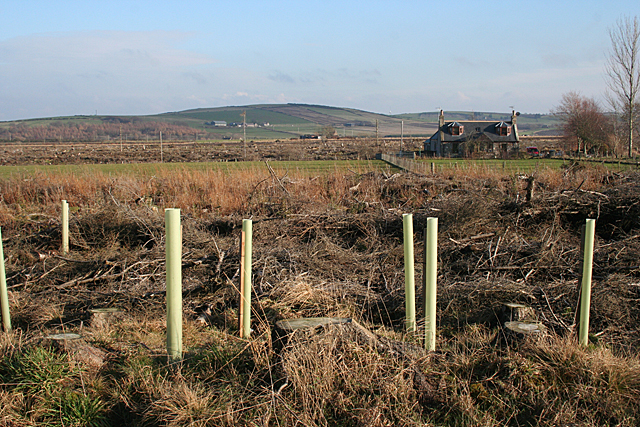
Image: © Anne Burgess Taken: 17 Feb 2011
The map shows this area as forested, but the trees have all been felled and saplings planted. This has opened up, temporarily, a view towards the Hill of Culbirnie (158 metres) in the distance. The nearest house is Kingswells.
Images are licensed for reuse under creativecommons.org/licenses/by-sa/2.0
Image Location
Latitude
57.634202
Longitude
-2.651949