Pond at Cairnton
Introduction
The photograph on this page of Pond at Cairnton by Anne Burgess as part of the Geograph project.
The Geograph project started in 2005 with the aim of publishing, organising and preserving representative images for every square kilometre of Great Britain, Ireland and the Isle of Man.

There are currently over 7.5m images from over 14,400 individuals and you can help contribute to the project by visiting https://www.geograph.org.uk
Pond at Cairnton
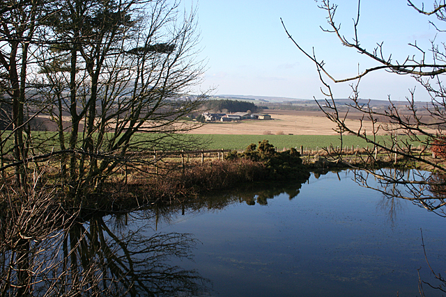
Image: © Anne Burgess Taken: 17 Feb 2011
The pond is obviously artificial, but its original purpose is unclear, as there isn't an obvious mill which could have been driven by its water. The farm in the distance is Smiddyboyne, in the next square.
Images are licensed for reuse under creativecommons.org/licenses/by-sa/2.0
Image Location
Latitude
57.660074
Longitude
-2.651408