Near Kindrought
Introduction
The photograph on this page of Near Kindrought by Anne Burgess as part of the Geograph project.
The Geograph project started in 2005 with the aim of publishing, organising and preserving representative images for every square kilometre of Great Britain, Ireland and the Isle of Man.

There are currently over 7.5m images from over 14,400 individuals and you can help contribute to the project by visiting https://www.geograph.org.uk
Near Kindrought
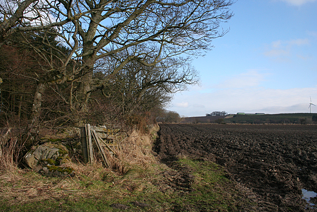
Image: © Anne Burgess Taken: 17 Feb 2011
The margin of the fields alongside the minor road is lined with mature trees. The farm on the skyline is Brangan, in the next square, and at extreme right is one of the wind turbines on the former airfield at Boyndie.
Images are licensed for reuse under creativecommons.org/licenses/by-sa/2.0
Image Location
Latitude
57.671581
Longitude
-2.66687