North West Trail Information Board
Introduction
The photograph on this page of North West Trail Information Board by Kenneth Allen as part of the Geograph project.
The Geograph project started in 2005 with the aim of publishing, organising and preserving representative images for every square kilometre of Great Britain, Ireland and the Isle of Man.

There are currently over 7.5m images from over 14,400 individuals and you can help contribute to the project by visiting https://www.geograph.org.uk
North West Trail Information Board
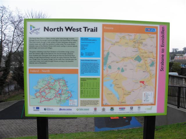
Image: © Kenneth Allen Taken: 17 Feb 2011
The following text is included, "The North West Trail is a 326km circular cycle route through counties Donegal,Tyrone, Fermanagh, Leitrim and Sligo in the North West of Ireland. The route travels through a wide variety of scenic landscapes along quiet country roads with traffic free sections in urban areas.The route enjoys dramatic views of the Atlantic Ocean, with scenic cycling in remote uplands and through rural towns and villages. The gently undulating route from Strabane to Enniskillen brings cyclists from the western edge of the Sperrins into the Fermanagh Lakelands. From Strabane the route goes south along the Mourne and Strule River Valleys through Newtownstewart and past the Ulster American Folk Park into Omagh town. On leaving Omagh via the traffic free riverside path, the route then tracks rural roads through Fintona arriving in the beautiful lakeside town of Enniskillen." It is located at Mill Street, Fintona
Images are licensed for reuse under creativecommons.org/licenses/by-sa/2.0
Image Location
Latitude
54.498003
Longitude
-7.313938