Power gap in the Hurtwood
Introduction
The photograph on this page of Power gap in the Hurtwood by Robin Webster as part of the Geograph project.
The Geograph project started in 2005 with the aim of publishing, organising and preserving representative images for every square kilometre of Great Britain, Ireland and the Isle of Man.

There are currently over 7.5m images from over 14,400 individuals and you can help contribute to the project by visiting https://www.geograph.org.uk
Power gap in the Hurtwood
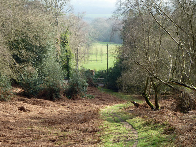
Image: © Robin Webster Taken: 17 Feb 2011
The ride cleared for the power lines is also used by a path up from the road. This enables walkers on public footpath 191 on the other side of the road to cross straight over into Hurtwood. This large area has been public access since 1926.
Images are licensed for reuse under creativecommons.org/licenses/by-sa/2.0
Image Location
Latitude
51.178564
Longitude
-0.415974