Footpath towards Coldharbour
Introduction
The photograph on this page of Footpath towards Coldharbour by Robin Webster as part of the Geograph project.
The Geograph project started in 2005 with the aim of publishing, organising and preserving representative images for every square kilometre of Great Britain, Ireland and the Isle of Man.

There are currently over 7.5m images from over 14,400 individuals and you can help contribute to the project by visiting https://www.geograph.org.uk
Footpath towards Coldharbour
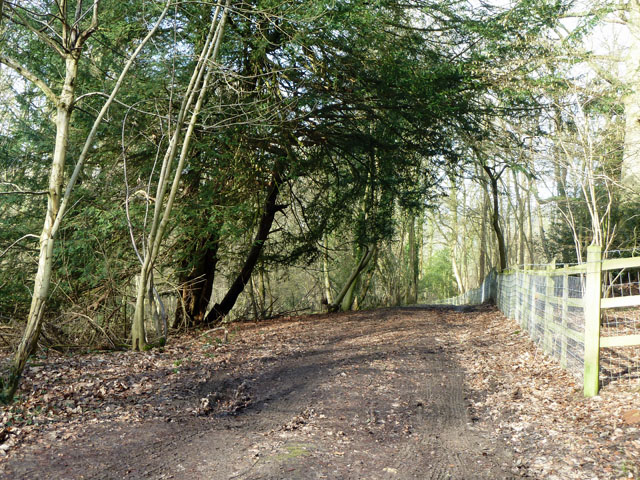
Image: © Robin Webster Taken: 17 Feb 2011
The original aligment of the Roman road Stane Street crosses the path nearly at right angles here.
Images are licensed for reuse under creativecommons.org/licenses/by-sa/2.0
Image Location
Latitude
51.176188
Longitude
-0.341807