Silver Hill towards Kiln Lane
Introduction
The photograph on this page of Silver Hill towards Kiln Lane by Bryan Tenny as part of the Geograph project.
The Geograph project started in 2005 with the aim of publishing, organising and preserving representative images for every square kilometre of Great Britain, Ireland and the Isle of Man.

There are currently over 7.5m images from over 14,400 individuals and you can help contribute to the project by visiting https://www.geograph.org.uk
Silver Hill towards Kiln Lane
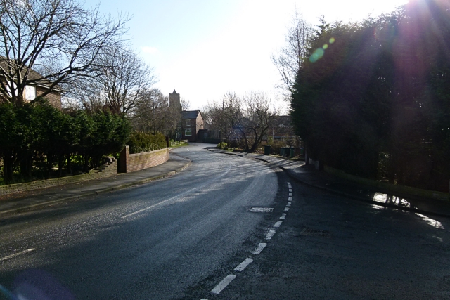
Image: © Bryan Tenny Taken: 16 Feb 2011
Part of a 1970s housing estate built on the site of Ashes farm Milnrow.
Images are licensed for reuse under creativecommons.org/licenses/by-sa/2.0
Image Location
Latitude
53.612959
Longitude
-2.110757