Shirehampton Sailing Clubhouses
Introduction
The photograph on this page of Shirehampton Sailing Clubhouses by Brian Westlake as part of the Geograph project.
The Geograph project started in 2005 with the aim of publishing, organising and preserving representative images for every square kilometre of Great Britain, Ireland and the Isle of Man.

There are currently over 7.5m images from over 14,400 individuals and you can help contribute to the project by visiting https://www.geograph.org.uk
Shirehampton Sailing Clubhouses
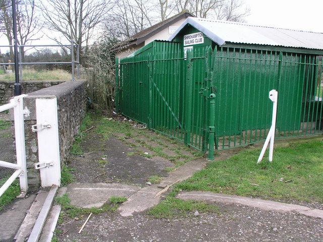
Image: © Brian Westlake Taken: 14 Feb 2011
The old clubhouse with the modern one beyond. Near the concrete track for the floodgate is a survey bolt. See http://www.geograph.org.uk/photo/2272539 for a close-up.
Images are licensed for reuse under creativecommons.org/licenses/by-sa/2.0
Image Location
Latitude
51.483303
Longitude
-2.682701