Stone Carrs
Introduction
The photograph on this page of Stone Carrs by Trevor Littlewood as part of the Geograph project.
The Geograph project started in 2005 with the aim of publishing, organising and preserving representative images for every square kilometre of Great Britain, Ireland and the Isle of Man.

There are currently over 7.5m images from over 14,400 individuals and you can help contribute to the project by visiting https://www.geograph.org.uk
Stone Carrs
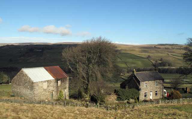
Image: © Trevor Littlewood Taken: 16 Feb 2011
Stone Carrs stands on the south side of the Wear valley south-east of the village of Westgate.
Images are licensed for reuse under creativecommons.org/licenses/by-sa/2.0
Image Location
Latitude
54.732134
Longitude
-2.135846