Annabaglish Farm
Introduction
The photograph on this page of Annabaglish Farm by Andy Farrington as part of the Geograph project.
The Geograph project started in 2005 with the aim of publishing, organising and preserving representative images for every square kilometre of Great Britain, Ireland and the Isle of Man.

There are currently over 7.5m images from over 14,400 individuals and you can help contribute to the project by visiting https://www.geograph.org.uk
Annabaglish Farm
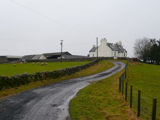
Image: © Andy Farrington Taken: 13 Feb 2011
View up the track to the farm which can be found on the edge of Knocketie Moss a large area of boggy moorland.
Images are licensed for reuse under creativecommons.org/licenses/by-sa/2.0
Image Location


Leaflet Map data © OpenStreetMap
Latitude
54.889714
Longitude
-4.660795