The Estuary of the River Dart at Dartmouth
Introduction
The photograph on this page of The Estuary of the River Dart at Dartmouth by Richard Baker as part of the Geograph project.
The Geograph project started in 2005 with the aim of publishing, organising and preserving representative images for every square kilometre of Great Britain, Ireland and the Isle of Man.

There are currently over 7.5m images from over 14,400 individuals and you can help contribute to the project by visiting https://www.geograph.org.uk
The Estuary of the River Dart at Dartmouth
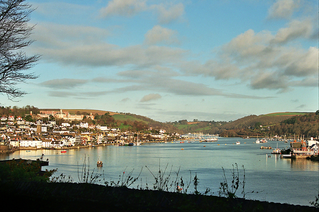
Image: © Richard Baker Taken: Unknown
Features Dartmouth town on the western side of the estuary (SX8751) and the tip of Kingswear on the eastern side.
Images are licensed for reuse under creativecommons.org/licenses/by-sa/2.0
Image Location


Leaflet Map data © OpenStreetMap
Latitude
50.352632
Longitude
-3.582698