Woodleigh Avenue
Introduction
The photograph on this page of Woodleigh Avenue by Martin Addison as part of the Geograph project.
The Geograph project started in 2005 with the aim of publishing, organising and preserving representative images for every square kilometre of Great Britain, Ireland and the Isle of Man.

There are currently over 7.5m images from over 14,400 individuals and you can help contribute to the project by visiting https://www.geograph.org.uk
Woodleigh Avenue
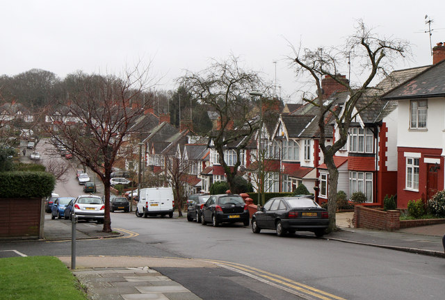
Image: © Martin Addison Taken: 12 Feb 2011
Seen from Woodhouse Road. Nice example of late 1920's housing. The road, along with Hollickwood Avenue at the far end, follows the route of a field boundary. There appears to have once been a stream at the bottom of the dip which fed into a fish pond, roughly located at the current junction of Thurlstone Avenue and Lyndhurst Avenue.
Images are licensed for reuse under creativecommons.org/licenses/by-sa/2.0
Image Location
Latitude
51.611691
Longitude
-0.160613