Stockland: The King?s Arms
Introduction
The photograph on this page of Stockland: The King?s Arms by Martin Bodman as part of the Geograph project.
The Geograph project started in 2005 with the aim of publishing, organising and preserving representative images for every square kilometre of Great Britain, Ireland and the Isle of Man.

There are currently over 7.5m images from over 14,400 individuals and you can help contribute to the project by visiting https://www.geograph.org.uk
Stockland: The King?s Arms
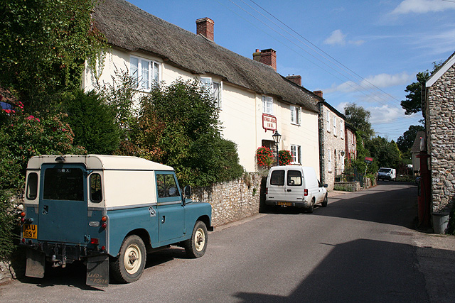
Image: © Martin Bodman Taken: 27 Aug 2006
The inn had its own entry in the Good Pub Guide 2005 and dates from the 16th century. It has a restaurant. Looking east
Images are licensed for reuse under creativecommons.org/licenses/by-sa/2.0
Image Location


Leaflet Map data © OpenStreetMap
Latitude
50.836334
Longitude
-3.074825