Flood Levels, Claverton Pumping Station
Introduction
The photograph on this page of Flood Levels, Claverton Pumping Station by Vivien Hughes as part of the Geograph project.
The Geograph project started in 2005 with the aim of publishing, organising and preserving representative images for every square kilometre of Great Britain, Ireland and the Isle of Man.

There are currently over 7.5m images from over 14,400 individuals and you can help contribute to the project by visiting https://www.geograph.org.uk
Flood Levels, Claverton Pumping Station
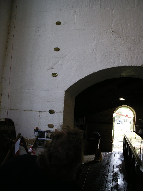
Image: © Vivien Hughes Taken: 3 Apr 2010
Small plaques that adorn the walls where the water has risen during the floods
Images are licensed for reuse under creativecommons.org/licenses/by-sa/2.0
Image Location
Latitude
51.379528
Longitude
-2.299387