Reivers Cycle Route, Ponteland
Introduction
The photograph on this page of Reivers Cycle Route, Ponteland by Oliver Dixon as part of the Geograph project.
The Geograph project started in 2005 with the aim of publishing, organising and preserving representative images for every square kilometre of Great Britain, Ireland and the Isle of Man.

There are currently over 7.5m images from over 14,400 individuals and you can help contribute to the project by visiting https://www.geograph.org.uk
Reivers Cycle Route, Ponteland
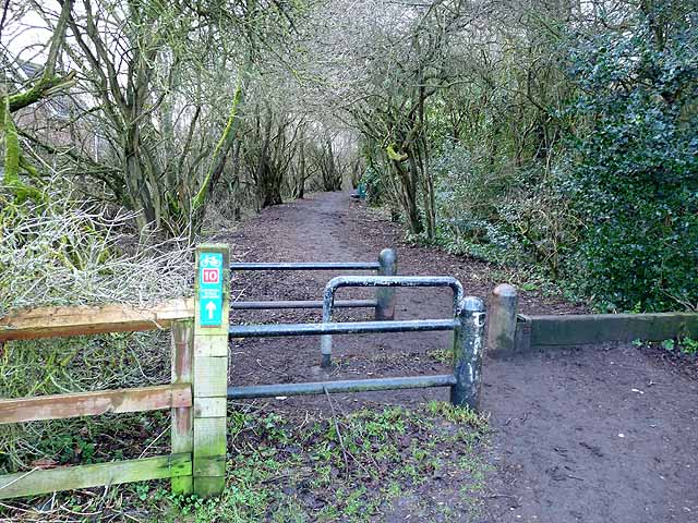
Image: © Oliver Dixon Taken: 14 Feb 2011
Regional Route 10 of the National Cycle Network here follows the line of an old railway which ran from Darras Hall via Ponteland to South Gosforth. The railway came very late in the railway era to Darras Hall. It only opened in 1913, was never a commercial success and closed to passengers in 1929. The line finally closed in 1954. More information on Ponteland Station and the line can be found at http://www.disused-stations.org.uk/p/ponteland/index.shtml The barriers hopefully keep out motor bikes. Horses can step over the horse stile to the right.
Images are licensed for reuse under creativecommons.org/licenses/by-sa/2.0
Image Location
Latitude
55.047091
Longitude
-1.743457