Veitch Close Exeter
Introduction
The photograph on this page of Veitch Close Exeter by David Smith as part of the Geograph project.
The Geograph project started in 2005 with the aim of publishing, organising and preserving representative images for every square kilometre of Great Britain, Ireland and the Isle of Man.

There are currently over 7.5m images from over 14,400 individuals and you can help contribute to the project by visiting https://www.geograph.org.uk
Veitch Close Exeter
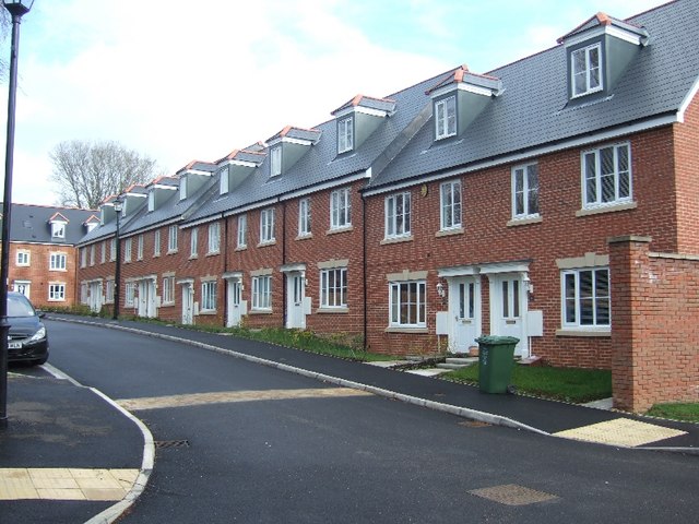
Image: © David Smith Taken: 11 Feb 2011
This development of modern town houses is named after the Veitch family, Victorian nurserymen, whose nurseries and home included the land where these houses are built. See http://en.wikipedia.org/wiki/Veitch_Nurseries
Images are licensed for reuse under creativecommons.org/licenses/by-sa/2.0
Image Location
Latitude
50.714723
Longitude
-3.514407