Junction of Luckhams Lane with A381
Introduction
The photograph on this page of Junction of Luckhams Lane with A381 by David Smith as part of the Geograph project.
The Geograph project started in 2005 with the aim of publishing, organising and preserving representative images for every square kilometre of Great Britain, Ireland and the Isle of Man.

There are currently over 7.5m images from over 14,400 individuals and you can help contribute to the project by visiting https://www.geograph.org.uk
Junction of Luckhams Lane with A381
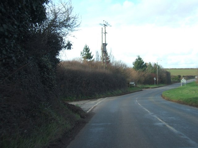
Image: © David Smith Taken: 12 Feb 2011
Luckhams Lane leads into the centre of Malborough, while the A381 takes traffic away from the old heart of the village.
Images are licensed for reuse under creativecommons.org/licenses/by-sa/2.0
Image Location


Leaflet Map data © OpenStreetMap
Latitude
50.246838
Longitude
-3.812163