How Did We Get Here ?
Introduction
The photograph on this page of How Did We Get Here ? by Michael Westley as part of the Geograph project.
The Geograph project started in 2005 with the aim of publishing, organising and preserving representative images for every square kilometre of Great Britain, Ireland and the Isle of Man.

There are currently over 7.5m images from over 14,400 individuals and you can help contribute to the project by visiting https://www.geograph.org.uk
How Did We Get Here ?
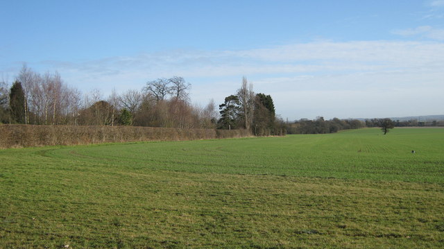
Image: © Michael Westley Taken: 12 Feb 2011
By following the FP sign in the car park at Cock Inn, Over Green Image The footpath follows east around the field to Church Lane and Wishaw village.
Images are licensed for reuse under creativecommons.org/licenses/by-sa/2.0
Image Location
Latitude
52.546289
Longitude
-1.750892