Western boundary of Llanharan
Introduction
The photograph on this page of Western boundary of Llanharan by Jaggery as part of the Geograph project.
The Geograph project started in 2005 with the aim of publishing, organising and preserving representative images for every square kilometre of Great Britain, Ireland and the Isle of Man.

There are currently over 7.5m images from over 14,400 individuals and you can help contribute to the project by visiting https://www.geograph.org.uk
Western boundary of Llanharan
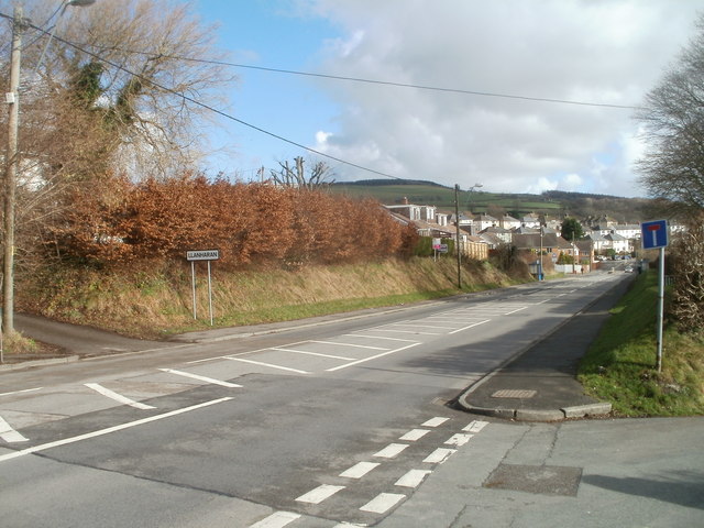
Image: © Jaggery Taken: 12 Feb 2011
The view east along Brynna Road. The Llanharan boundary sign is near the SE edge of Llanharan Cemetery. On the right is the turning for Chapel Hill.
Images are licensed for reuse under creativecommons.org/licenses/by-sa/2.0
Image Location
Latitude
51.53964
Longitude
-3.449062