Moorland Avenue
Introduction
The photograph on this page of Moorland Avenue by Bryan Tenny as part of the Geograph project.
The Geograph project started in 2005 with the aim of publishing, organising and preserving representative images for every square kilometre of Great Britain, Ireland and the Isle of Man.

There are currently over 7.5m images from over 14,400 individuals and you can help contribute to the project by visiting https://www.geograph.org.uk
Moorland Avenue
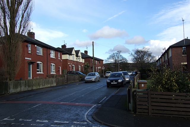
Image: © Bryan Tenny Taken: 14 Feb 2011
Another part of the housing estate built between the wars on the site of the Holts farms. Viewed from Wellington Street towards the Pennine Hills
Images are licensed for reuse under creativecommons.org/licenses/by-sa/2.0
Image Location
Latitude
53.609369
Longitude
-2.105156