Old Byre, Houghlane Farm, Nr Barnton
Introduction
The photograph on this page of Old Byre, Houghlane Farm, Nr Barnton by Alan Godfree as part of the Geograph project.
The Geograph project started in 2005 with the aim of publishing, organising and preserving representative images for every square kilometre of Great Britain, Ireland and the Isle of Man.

There are currently over 7.5m images from over 14,400 individuals and you can help contribute to the project by visiting https://www.geograph.org.uk
Old Byre, Houghlane Farm, Nr Barnton
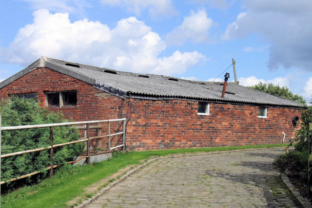
Image: © Alan Godfree Taken: 27 Aug 2006
Houghlane Farm shown on the OS map has been converted to a collection of private dwellings. This appears to be the last remaining original farm building
Images are licensed for reuse under creativecommons.org/licenses/by-sa/2.0
Image Location
Latitude
53.283279
Longitude
-2.554916