Fleming Road enters Staple
Introduction
The photograph on this page of Fleming Road enters Staple by David Anstiss as part of the Geograph project.
The Geograph project started in 2005 with the aim of publishing, organising and preserving representative images for every square kilometre of Great Britain, Ireland and the Isle of Man.

There are currently over 7.5m images from over 14,400 individuals and you can help contribute to the project by visiting https://www.geograph.org.uk
Fleming Road enters Staple
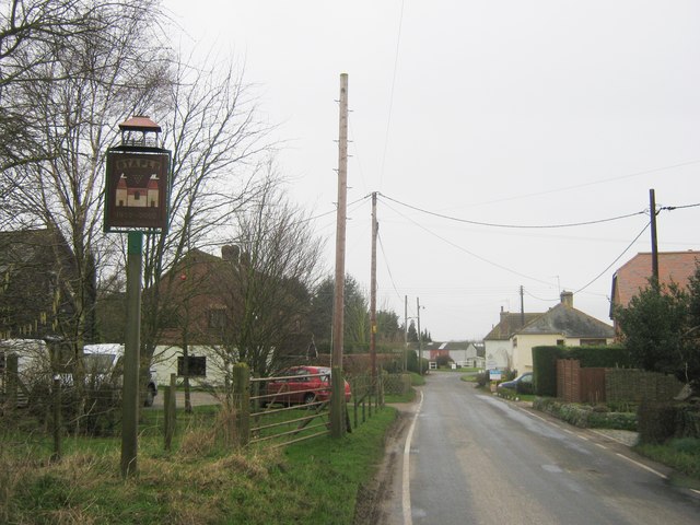
Image: © David Anstiss Taken: 13 Feb 2011
The road from Eastry heads through the little village of Flemings before heading towards Barnsole, a village beside Staple. On the left is the Staple Village Sign.
Images are licensed for reuse under creativecommons.org/licenses/by-sa/2.0
Image Location
Latitude
51.263734
Longitude
1.267021