The Stone House, Vicarage Road, Potten End
Introduction
The photograph on this page of The Stone House, Vicarage Road, Potten End by John Willacy as part of the Geograph project.
The Geograph project started in 2005 with the aim of publishing, organising and preserving representative images for every square kilometre of Great Britain, Ireland and the Isle of Man.

There are currently over 7.5m images from over 14,400 individuals and you can help contribute to the project by visiting https://www.geograph.org.uk
The Stone House, Vicarage Road, Potten End
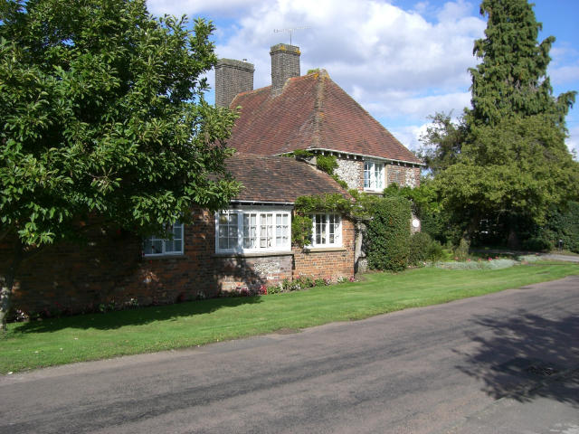
Image: © John Willacy Taken: 27 Aug 2006
Part of this house dates back to the 17th century and therefore is one of the oldest in the village - still standing the test of time well.
Images are licensed for reuse under creativecommons.org/licenses/by-sa/2.0
Image Location
Latitude
51.771364
Longitude
-0.528938