Eastwood Brook
Introduction
The photograph on this page of Eastwood Brook by terry joyce as part of the Geograph project.
The Geograph project started in 2005 with the aim of publishing, organising and preserving representative images for every square kilometre of Great Britain, Ireland and the Isle of Man.

There are currently over 7.5m images from over 14,400 individuals and you can help contribute to the project by visiting https://www.geograph.org.uk
Eastwood Brook
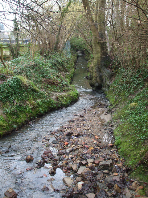
Image: © terry joyce Taken: 11 Feb 2011
This is the brook flowing to the south of what was the Silver Jubilee Public House, which is now Miller and Carter Steakhouse Pub Grill. Taken from the bridge in Rayleigh Downs Road.
Images are licensed for reuse under creativecommons.org/licenses/by-sa/2.0
Image Location
Latitude
51.574433
Longitude
0.633529