Denovan Road
Introduction
The photograph on this page of Denovan Road by Robert Murray as part of the Geograph project.
The Geograph project started in 2005 with the aim of publishing, organising and preserving representative images for every square kilometre of Great Britain, Ireland and the Isle of Man.

There are currently over 7.5m images from over 14,400 individuals and you can help contribute to the project by visiting https://www.geograph.org.uk
Denovan Road
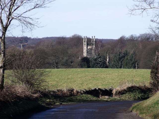
Image: © Robert Murray Taken: 10 Feb 2011
Looking towards Denovan with the landmark spire of the former Denovan church rising above the trees. See http://www.scottishchurches.org.uk/sites/site/id/7690/name/Dunipace+North+Parish+Church+Dunipace+Central for information on this fine building and Image for a closer view.
Images are licensed for reuse under creativecommons.org/licenses/by-sa/2.0
Image Location
Latitude
56.023575
Longitude
-3.885982