"The Kiln" near Selborne (2)
Introduction
The photograph on this page of "The Kiln" near Selborne (2) by Shazz as part of the Geograph project.
The Geograph project started in 2005 with the aim of publishing, organising and preserving representative images for every square kilometre of Great Britain, Ireland and the Isle of Man.

There are currently over 7.5m images from over 14,400 individuals and you can help contribute to the project by visiting https://www.geograph.org.uk
"The Kiln" near Selborne (2)
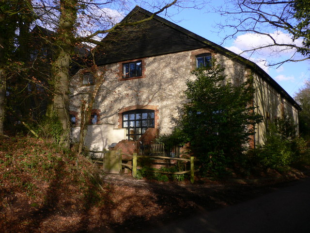
Image: © Shazz Taken: 12 Feb 2011
On my 1995 OS Pathfinder these buildings are named Sotherington Farm.
Images are licensed for reuse under creativecommons.org/licenses/by-sa/2.0
Image Location
Latitude
51.09288
Longitude
-0.923277