A48 approaches a minor road near Parc Seymour
Introduction
The photograph on this page of A48 approaches a minor road near Parc Seymour by Jaggery as part of the Geograph project.
The Geograph project started in 2005 with the aim of publishing, organising and preserving representative images for every square kilometre of Great Britain, Ireland and the Isle of Man.

There are currently over 7.5m images from over 14,400 individuals and you can help contribute to the project by visiting https://www.geograph.org.uk
A48 approaches a minor road near Parc Seymour
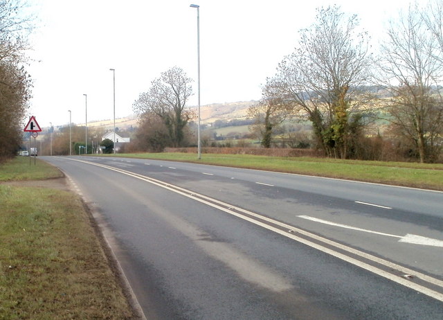
Image: © Jaggery Taken: 28 Jan 2011
The view WSW along the A48 near Parc Seymour. The road sign shows a right turn ahead into a minor road - a lane http://www.geograph.org.uk/photo/2267555 skirting the western edge of the village of Parc Seymour.
Images are licensed for reuse under creativecommons.org/licenses/by-sa/2.0
Image Location
Latitude
51.616445
Longitude
-2.86365