Cut Mark, A54 Bridge nr Tarvin
Introduction
The photograph on this page of Cut Mark, A54 Bridge nr Tarvin by VBForever as part of the Geograph project.
The Geograph project started in 2005 with the aim of publishing, organising and preserving representative images for every square kilometre of Great Britain, Ireland and the Isle of Man.

There are currently over 7.5m images from over 14,400 individuals and you can help contribute to the project by visiting https://www.geograph.org.uk
Cut Mark, A54 Bridge nr Tarvin
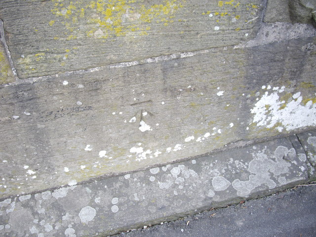
Image: © VBForever Taken: 11 Feb 2011
OS Cut Mark on small bridge on A54, opposite junction with High Street, Tarvin. Number B10689 on Benchmark Database, see: http://www.bench-marks.org.uk/bm36943
Images are licensed for reuse under creativecommons.org/licenses/by-sa/2.0
Image Location
Latitude
53.200842
Longitude
-2.761532