2011 : High Street, Coleford
Introduction
The photograph on this page of 2011 : High Street, Coleford by Maurice Pullin as part of the Geograph project.
The Geograph project started in 2005 with the aim of publishing, organising and preserving representative images for every square kilometre of Great Britain, Ireland and the Isle of Man.

There are currently over 7.5m images from over 14,400 individuals and you can help contribute to the project by visiting https://www.geograph.org.uk
2011 : High Street, Coleford
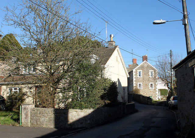
Image: © Maurice Pullin Taken: 8 Feb 2011
Looking east toward the main part of the village. "Coleford was listed in the Domesday Book of 1086 as Colford, meaning the hill ford, possibly from the Old French col and ford, or alternatively the coal ford, a ford over which charcoal was carried." Copied from: http://en.wikipedia.org/wiki/Coleford,_Somerset
Images are licensed for reuse under creativecommons.org/licenses/by-sa/2.0
Image Location
Latitude
51.236611
Longitude
-2.451006