The very end of Camp Road, Wimbledon Common
Introduction
The photograph on this page of The very end of Camp Road, Wimbledon Common by Stefan Czapski as part of the Geograph project.
The Geograph project started in 2005 with the aim of publishing, organising and preserving representative images for every square kilometre of Great Britain, Ireland and the Isle of Man.

There are currently over 7.5m images from over 14,400 individuals and you can help contribute to the project by visiting https://www.geograph.org.uk
The very end of Camp Road, Wimbledon Common
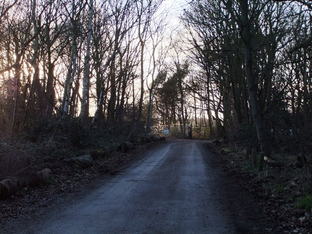
Image: © Stefan Czapski Taken: 12 Feb 2011
At this point Camp Road peters out, as it approaches the structure which gave it its name. Though known for generations as Caesar's Camp, it is pre-Roman, an Iron Age hill-fort. A footpath continues across the hill-fort site, between golf courses; a bridleway continues downhill to the right, to Warren Farm.
Images are licensed for reuse under creativecommons.org/licenses/by-sa/2.0
Image Location
Latitude
51.426016
Longitude
-0.237987