View past a tank above Glebe Farm
Introduction
The photograph on this page of View past a tank above Glebe Farm by Robin Stott as part of the Geograph project.
The Geograph project started in 2005 with the aim of publishing, organising and preserving representative images for every square kilometre of Great Britain, Ireland and the Isle of Man.

There are currently over 7.5m images from over 14,400 individuals and you can help contribute to the project by visiting https://www.geograph.org.uk
View past a tank above Glebe Farm
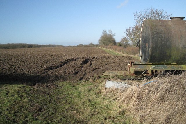
Image: © Robin Stott Taken: 3 Feb 2011
Snitterfield Bushes and Glebe Wood on the left are examples of the hilltop woodlands in the area. The footpath by the hedge, route of Monarch's Way, follows the ridge before descending to Langley. On the other side of the hedge is a gentle northeast-facing scarp.
Images are licensed for reuse under creativecommons.org/licenses/by-sa/2.0
Image Location


Leaflet Map data © OpenStreetMap
Latitude
52.242921
Longitude
-1.694889