Bridge over the Moneypool Burn
Introduction
The photograph on this page of Bridge over the Moneypool Burn by Ann Cook as part of the Geograph project.
The Geograph project started in 2005 with the aim of publishing, organising and preserving representative images for every square kilometre of Great Britain, Ireland and the Isle of Man.

There are currently over 7.5m images from over 14,400 individuals and you can help contribute to the project by visiting https://www.geograph.org.uk
Bridge over the Moneypool Burn
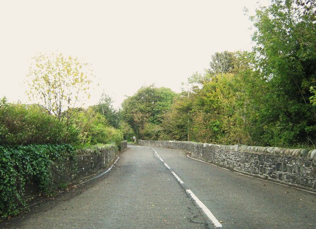
Image: © Ann Cook Taken: 7 Oct 2010
This bridge used to be a nightmare years ago before the Creetown bypass was built. It was a constant hold-up as heavy lorries tried to pass one another in the narrow, twisting space.
Images are licensed for reuse under creativecommons.org/licenses/by-sa/2.0
Image Location
Latitude
54.902837
Longitude
-4.379307