Y-junction, SE Tonyrefail
Introduction
The photograph on this page of Y-junction, SE Tonyrefail by Jaggery as part of the Geograph project.
The Geograph project started in 2005 with the aim of publishing, organising and preserving representative images for every square kilometre of Great Britain, Ireland and the Isle of Man.

There are currently over 7.5m images from over 14,400 individuals and you can help contribute to the project by visiting https://www.geograph.org.uk
Y-junction, SE Tonyrefail
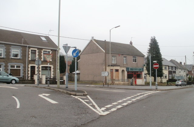
Image: © Jaggery Taken: 9 Feb 2011
The view along the eastern end of an apparently unnamed road from Thomastown. Ahead, Penygarreg Road on the left becomes Ely Valley Road on the right. The shop near to the no entry sign is Coedely Chinese takeaway and fish & chips.
Images are licensed for reuse under creativecommons.org/licenses/by-sa/2.0
Image Location
Latitude
51.570501
Longitude
-3.425514