Clydebank and Erskine Bridge from the air
Introduction
The photograph on this page of Clydebank and Erskine Bridge from the air by Thomas Nugent as part of the Geograph project.
The Geograph project started in 2005 with the aim of publishing, organising and preserving representative images for every square kilometre of Great Britain, Ireland and the Isle of Man.

There are currently over 7.5m images from over 14,400 individuals and you can help contribute to the project by visiting https://www.geograph.org.uk
Clydebank and Erskine Bridge from the air
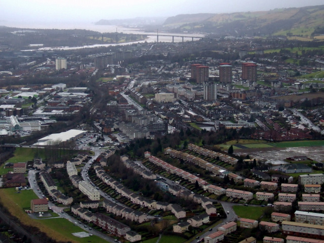
Image: © Thomas Nugent Taken: 4 Feb 2011
The brownfield site of the former Braidfield High School is to the lower right. Singer and Dalmuir railway stations can be seen, with the new footbridge at Dalmuir prominent. Erskine Bridge and Dumbarton Rock are in the distance.
Images are licensed for reuse under creativecommons.org/licenses/by-sa/2.0
Image Location
Latitude
55.90432
Longitude
-4.392927