Trinity Church Square, SE1
Introduction
The photograph on this page of Trinity Church Square, SE1 by Malc McDonald as part of the Geograph project.
The Geograph project started in 2005 with the aim of publishing, organising and preserving representative images for every square kilometre of Great Britain, Ireland and the Isle of Man.

There are currently over 7.5m images from over 14,400 individuals and you can help contribute to the project by visiting https://www.geograph.org.uk
Trinity Church Square, SE1
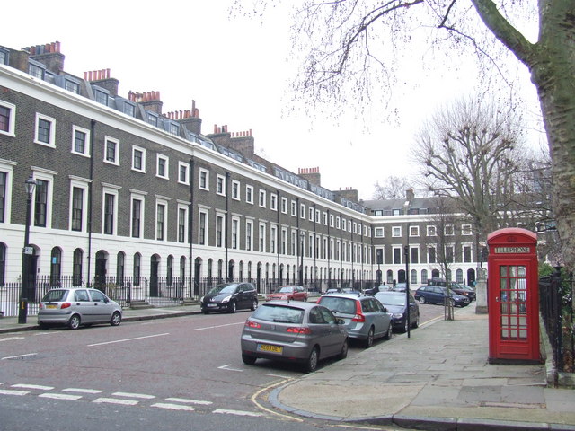
Image: © Malc McDonald Taken: 9 Feb 2011
Trinity Church Square was developed in the 1820s. It takes its name from Trinity House, the authority responsible for lighthouses in England, Wales, the Channel Islands and Gibraltar. Trinity House developed the square and still owns the freehold to most of the properties. The square is a Conservation Area, and most of the buildings are Grade II listed.
Images are licensed for reuse under creativecommons.org/licenses/by-sa/2.0
Image Location
Latitude
51.498657
Longitude
-0.09313