
Stratford Oaks Golf Course
Introduction
The photograph on this page of Stratford Oaks Golf Course by Robin Stott as part of the Geograph project.
The Geograph project started in 2005 with the aim of publishing, organising and preserving representative images for every square kilometre of Great Britain, Ireland and the Isle of Man.

There are currently over 7.5m images from over 14,400 individuals and you can help contribute to the project by visiting https://www.geograph.org.uk
Stratford Oaks Golf Course
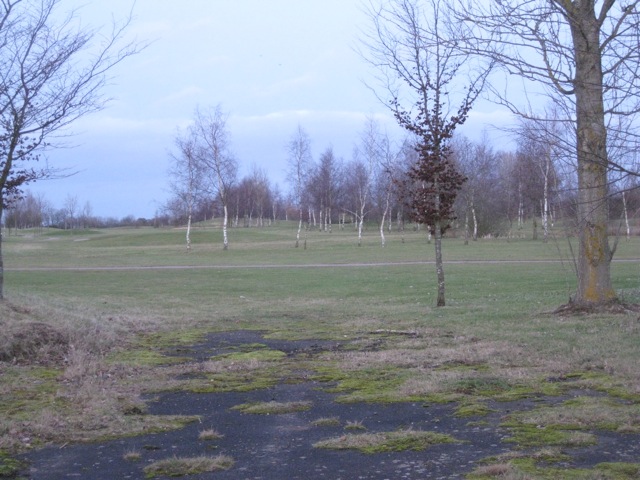
Image: © Robin Stott Taken: 3 Feb 2011
Seen from a disused access off Bearley Road. The course shows heavy reliance on silver birch for landscaping and defining the fairways. It's fast-growing, soil-improving and the clear stems allow players to retrieve stray balls. The course has been formed on part of the site of a World War II RAF airfield, built 1942-3 over cleared woodland and closed in 1946. The parish boundary between Bearley (left) and Snitterfield (right) runs up the middle of the picture.
Images are licensed for reuse under creativecommons.org/licenses/by-sa/2.0
Image Location

Latitude
52.242355
Longitude
-1.720229