Northern end of residential Ely Valley Road, Talbot Green
Introduction
The photograph on this page of Northern end of residential Ely Valley Road, Talbot Green by Jaggery as part of the Geograph project.
The Geograph project started in 2005 with the aim of publishing, organising and preserving representative images for every square kilometre of Great Britain, Ireland and the Isle of Man.

There are currently over 7.5m images from over 14,400 individuals and you can help contribute to the project by visiting https://www.geograph.org.uk
Northern end of residential Ely Valley Road, Talbot Green
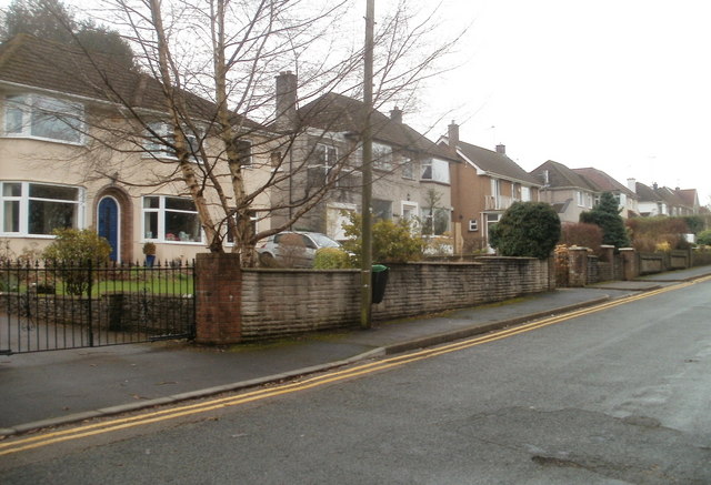
Image: © Jaggery Taken: 9 Feb 2011
There is potential for confusion here. This residential road is named Ely Valley Road. Its northern end, just behind the camera, is blocked off to prevent vehicular access, though pedestrians can access the adjacent A4119, which is also named Ely Valley Road in this area.
Images are licensed for reuse under creativecommons.org/licenses/by-sa/2.0
Image Location
Latitude
51.539508
Longitude
-3.385612